1878 Map of Douglas & Sarpy Counties, Neb.
During our IMLS grant work, our Collection Facilitator, Haiden Nelson, came across a map of Douglas and Sarpy Counties, Nebraska from 1878. Read below as Haiden shares about what she found out about these items.
____________________________________________________________

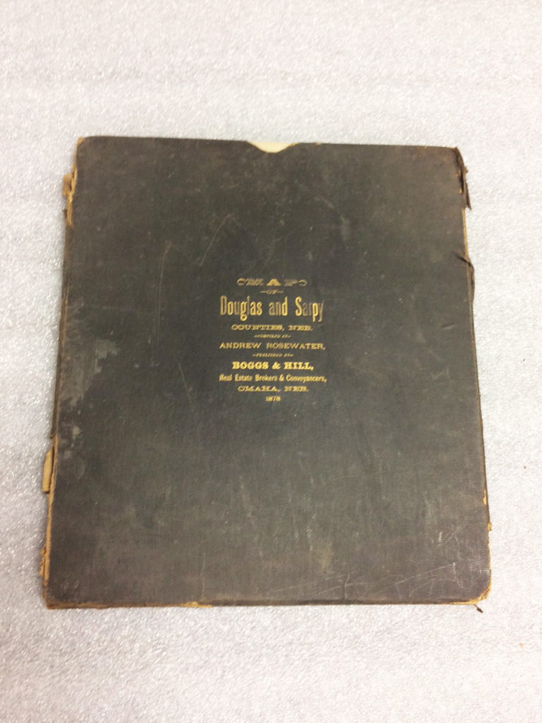
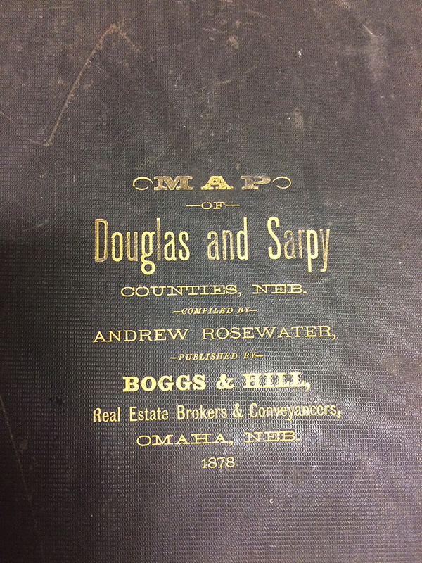
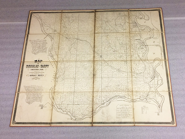
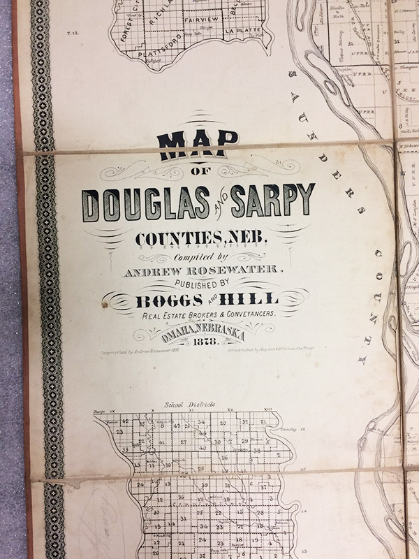
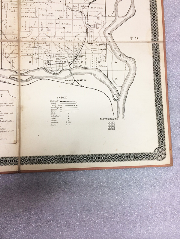
This 1878 map of Douglas and Sarpy counties is an exciting object here in object storage. It has survived the past 140 years thanks to its thick slip case and its unique construction. The paper squares of the map were cut and pasted onto fabric. The map does not have wear and tear on the creases because the fabric takes all the strain, rather than the paper. The map offers a look at what Douglas and Sarpy counties looked like in the 1870s.
Boggs & Hill, the publisher of this map, was a general real estate business in Omaha. George H. Boggs (1840-1895) came to Omaha in the spring of 1868. Lew W. Hill, (-1908) came to Omaha in 1867.
Andrew Rosewater, brother of Edward Rosewater (founder of the Omaha Bee newspaper), arrived in Omaha in 1867. He was appointed Assistant City Engineer of Omaha in 1868.
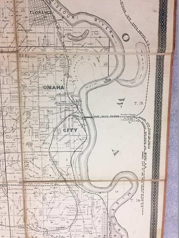
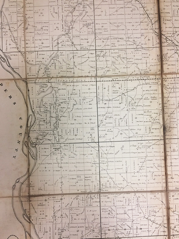
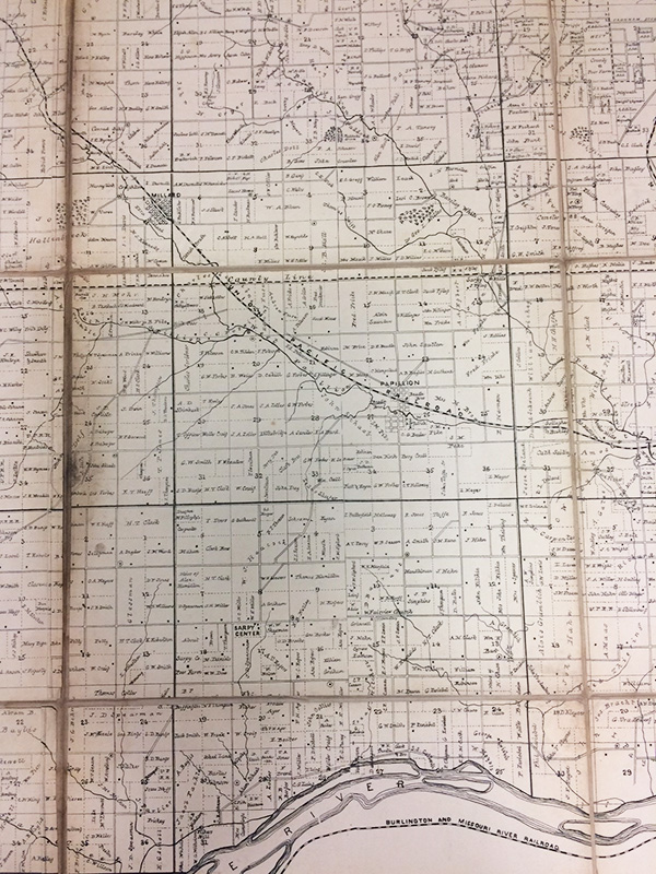
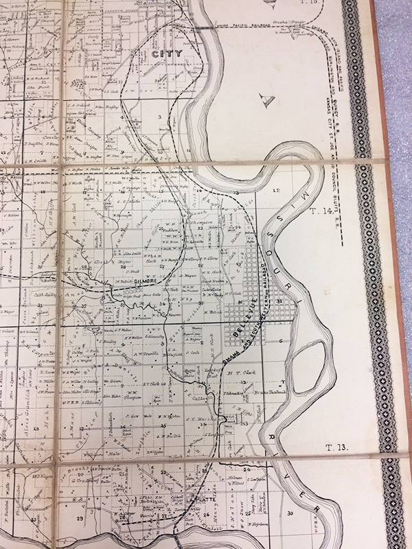
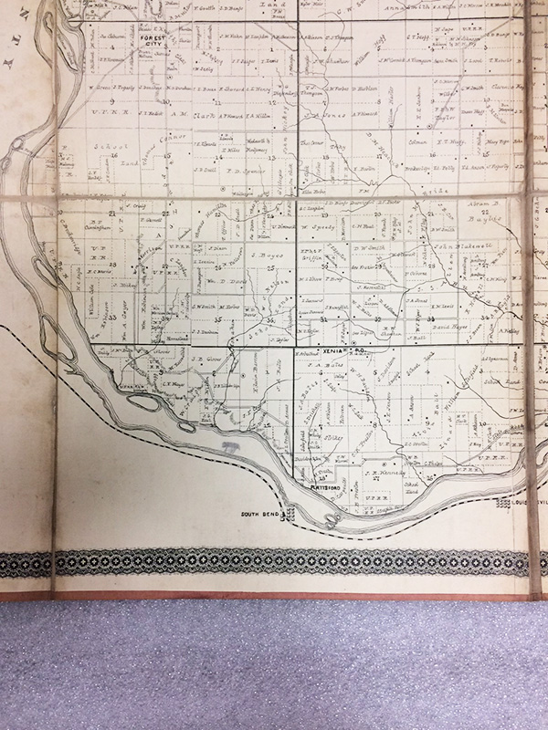
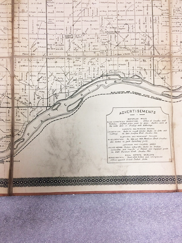
The towns and cities represented on this map include: Valley, Elkhorn, Waterloo, Forest City, Xenia, South Bend, Louisville, Sarpy Center, Papillion, La Platte, Gilmore, Bellevue, Millard, Florence, Irvington, and Omaha. Here are a few facts about some of the towns you may not have heard of.
Forest City: Incorporated in 1858, had a trading post, school, homes, granary, and church. By 1875 most of the population had moved to new, young, Gretna and now the only thing left is the cemetery.
Gilmore: The entire community consisted of a railroad depot, grain elevator, and livestock pens. Nothing is currently left in the area.
La Platte: 1855, a group of men built a hotel and a sawmill. The next year, they moved the town up out of the flood plain and renamed it Larimer. In 1870, the La Platte on this map was established. This location had access to limestone quarries and railroad connections.
Louisville: With the first settlement in 1857, the city was officially placed in 1870, following the railroad. Could have been named for a local gristmill-man Mr. Lois or it could have been named after Louisville, KY.
Sarpy Center: Established in 1874, known for battling with Papillion for the county seat.
South Bend: The first settlement was established in 1856 and the village was platted in 1857.
Xenia: Current ghost town with a schoolhouse, house (which used to be a post office), and cemetery.
_______________________________________________________________________________________________________
Thank you for reading and see you next time,
Becky
